Mapping it out
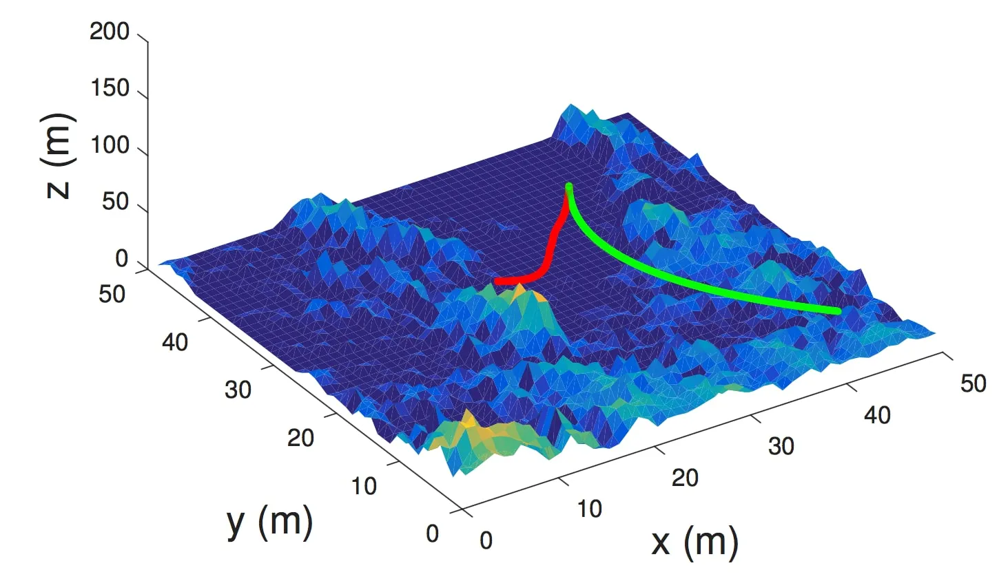
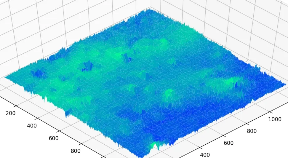
Building a Martian terrain height-map in Python from HiRISE relief imagery: grayscale conversion, altitude scaling, and a 3D surface plot to land on.
Writing — page 2 of 3
Building a Martian terrain height-map in Python from HiRISE relief imagery: grayscale conversion, altitude scaling, and a 3D surface plot to land on.
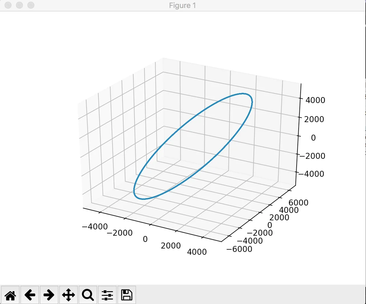
Switching my orbit simulations from MATLAB to Python: getting an RK4 solver and 3D orbit plotting working with scipy and matplotlib.
A grad-school independent study: teaching a spacecraft to avoid obstacles during descent and landing on Mars with a Q-learning agent, and comparing it to a greedy baseline.
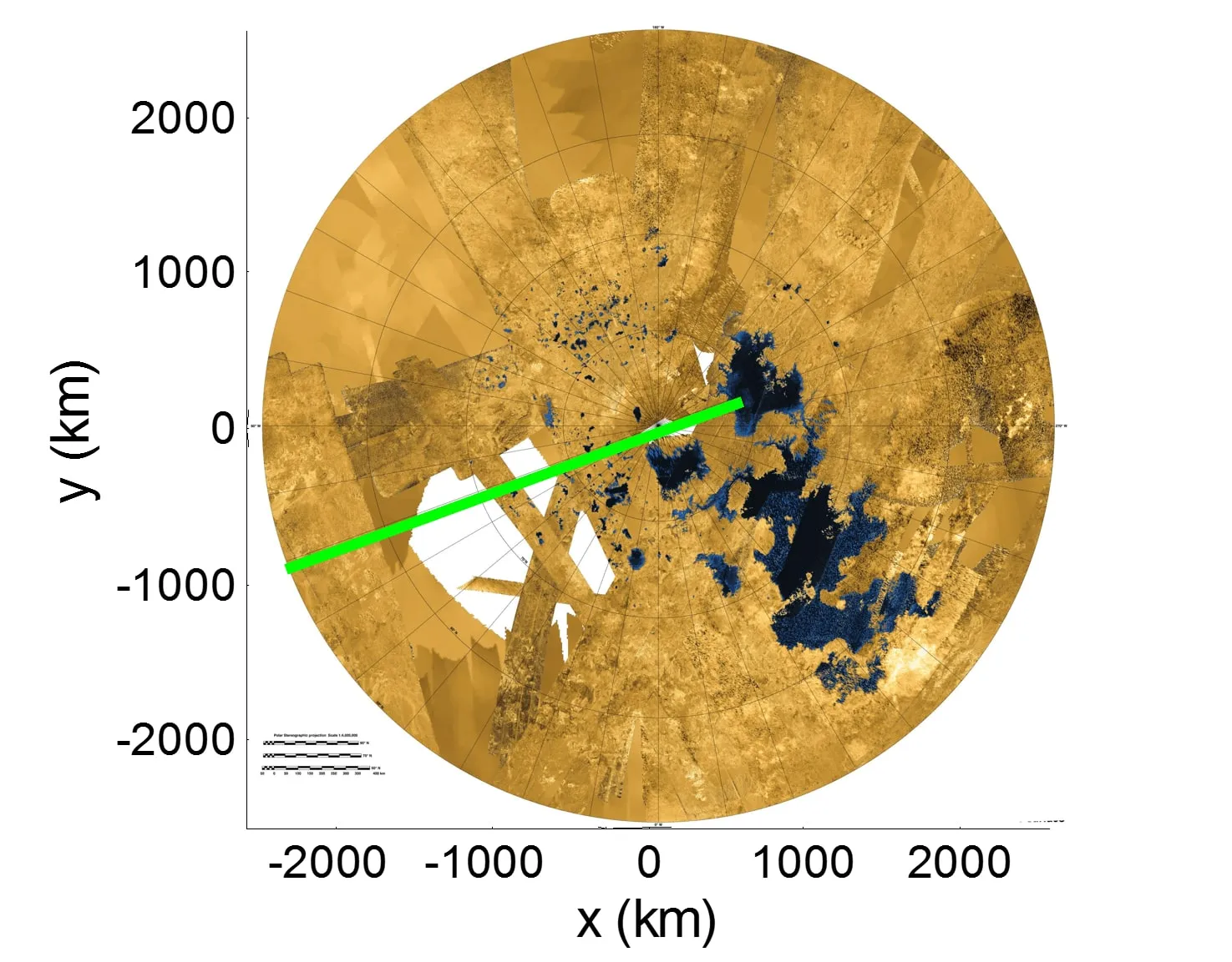
My senior design mission to land a science payload on a methane lake at Titan's north pole: modeling the atmosphere, drag, and a Monte Carlo landing ellipse to prove a parachute EDL system could hit Ligeia Mare.
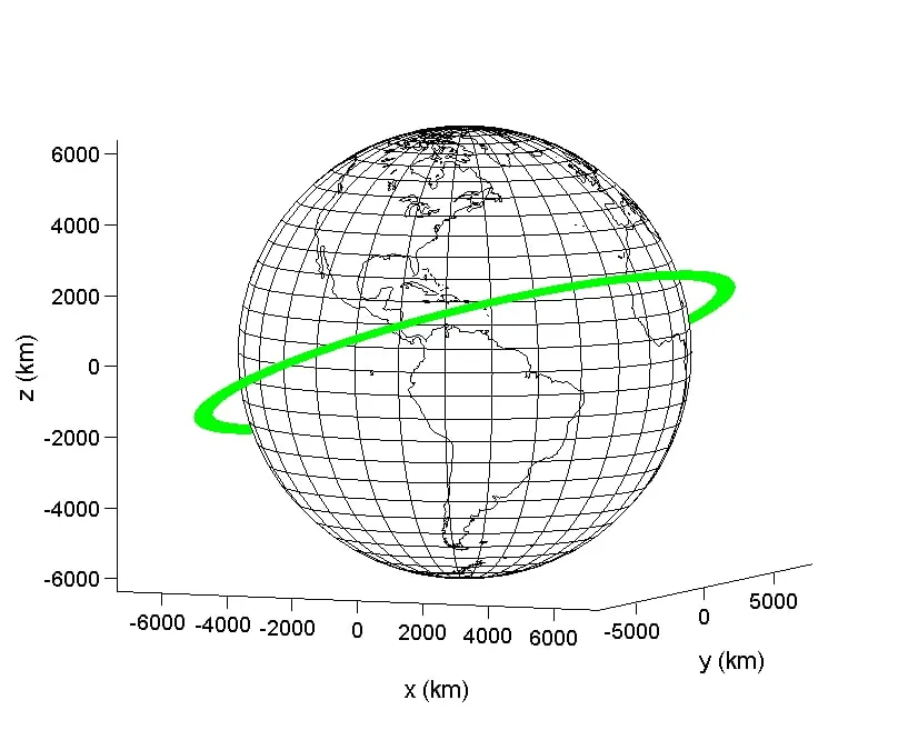
Adding real orbital dynamics to the CubeSat attitude simulator: integrating Newton's equations of motion alongside Euler's, and watching a small continuous thrust reshape the orbit while keeping it planar.
Get email notifcations for new posts.